![]() |
save our sugarite...
Maps |
![]() |
![]() |
SOS Links: | |
SOS Home | ||
Join SOS | ||
Meetings/News | ||
Maps | ||
Contact SOS | ||
Photo Gallery | ||
Map showing the approximate location of the proposed TDC road and the drainages and streams that will be affected by the development. | ||
![]() |
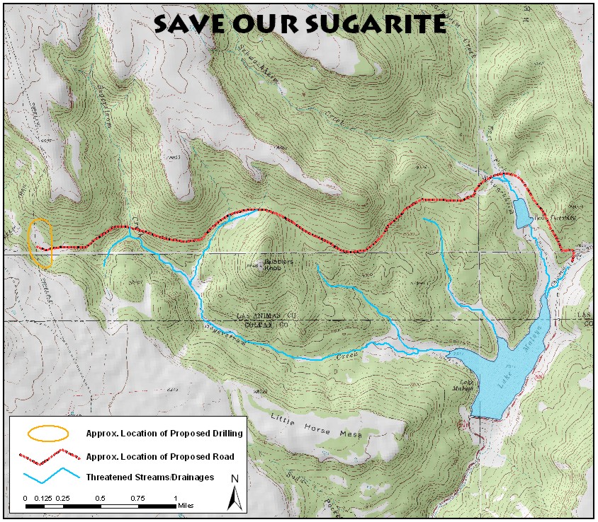
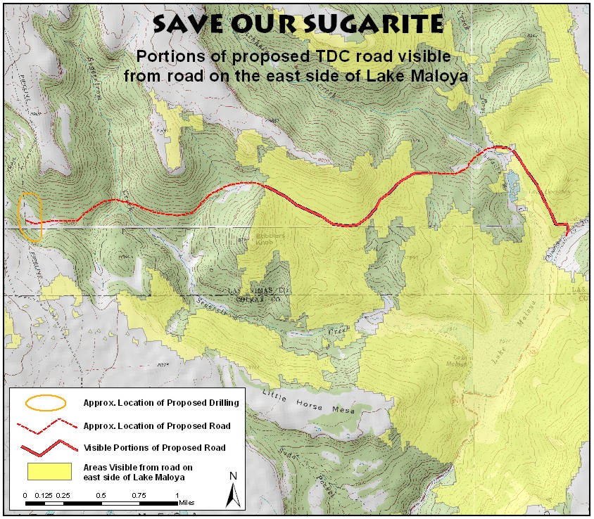
To download maps as a jpeg (image) file, right click on the map as chose 'Save Image As' to save the map to a location on your computer. You can also choose 'Copy' the image and then paste the image directly into a word processing program in order to print the maps. |
|
Map showing the portions of the proposed road that will be visible from the eastern side of Lake Maloya. |